The Dutch School map is an engraved map, later hand-coloured, intended for an educated European public interested in the political geography of south-eastern Europe. It shows Greece, the Kingdom of Hungary and neighbouring territories with borders, Latinised place names and a simplified river network, reflecting Dutch cartographic knowledge in the early modern period. The style, with decorated cartouches and different colouring for states and regions, belongs to the tradition of Netherlandish cartography of the 17th and 18th centuries, when Dutch engravers dominated the European market for printed maps. The work should be seen as a tool for geographical orientation but also as a prestige object, expressing the central role of Dutch publishing centres in circulating images of Ottoman and Habsburg Europe.
Unique quality material
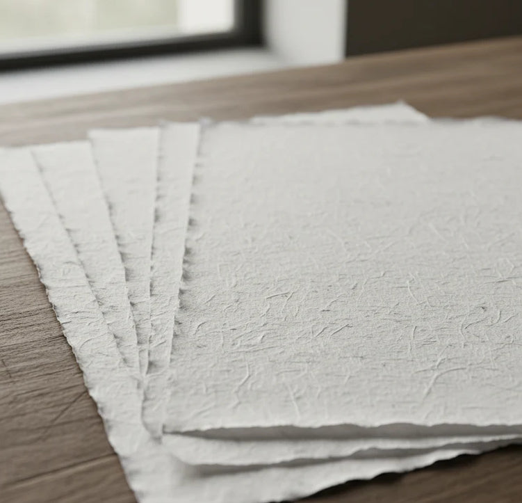
Print on handmade Amalfi paper Sheet size: 29 x 42 cm (11.4 x 16.5 in) With frame: 31 x 44 cm (12.2 x 17.3 in) Material: artwork printed on very fine handmade Amalfi paper with deckled edges Frame: light brown beech wood and wood pulp, handmade
How an Amalfi art print is made, what the frame is like, what museum glass is, how long shipping takes, and how returns work: we’ve gathered all the answers on a single page.