The map is a late Ptolemaic chart showing Phoenicia, Mesopotamia and Babylonia according to the geographical tradition of Claudius Ptolemy, handed down in a humanist Latin version of around the 15th century. The territory is rendered in Ptolemaic projection, with the eastern Mediterranean coast, the Persian Gulf and the Red Sea outlined in blue and a dense network of ancient Latin place names derived from the coordinates of the original Geographia. The mountains are stylised as brown ranges, while rivers such as the Euphrates and Tigris flow in sinuous lines southwards, emphasising the Mesopotamian valley. The sheet, on vellum, was probably part of a luxury atlas intended for cultivated patrons in Renaissance Italy, keen to identify the places of the ancient world in the biblical and classical landscape.
Unique quality material
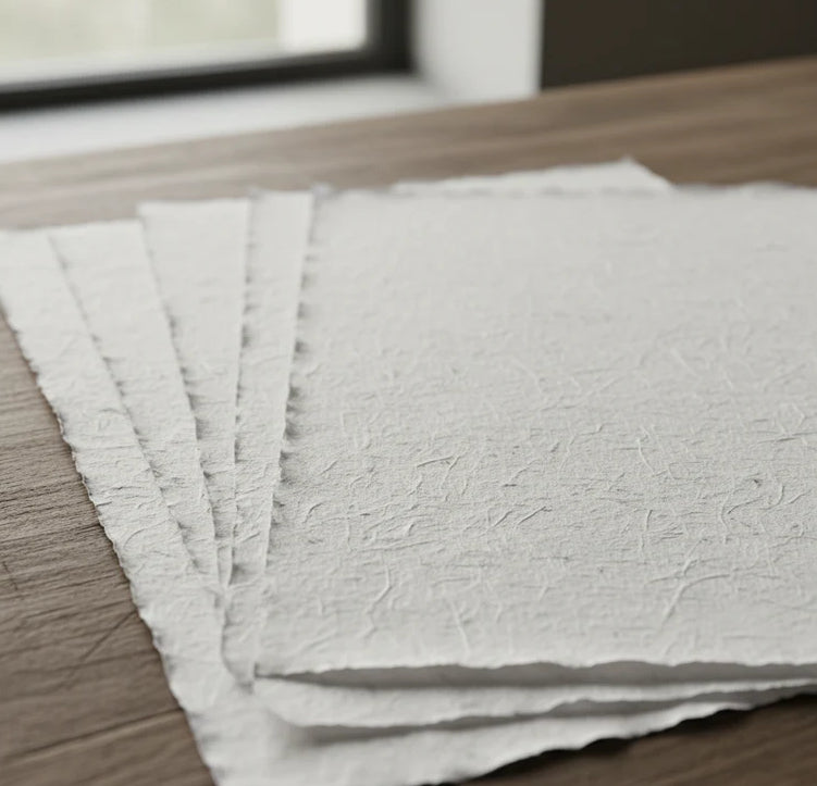
Print on handmade Amalfi paper Sheet size: 29 x 42 cm (11.4 x 16.5 in) With frame: 31 x 44 cm (12.2 x 17.3 in) Material: artwork printed on very fine handmade Amalfi paper with deckled edges Frame: light brown beech wood and wood pulp, handmade
How an Amalfi art print is made, what the frame is like, what museum glass is, how long shipping takes, and how returns work: we’ve gathered all the answers on a single page.