Historical map of the diocese of Salzburg from the late 16th century, by Abraham Ortelius. The map is part of the "Theatrum Orbis Terrarum".
The map shows the diocese of Salzburg, indicating rivers, mountain ranges and the main settlements. In the lower right corner is a "little" Salzburg, with its principal buildings and monuments.
Abraham Ortelius (Latinised as Abrahamus Ortelius or Orthellius) was a Flemish cartographer and geographer. Together with Mercator, Ortelius was the great founder of Flemish cartography and is remembered for publishing the first modern atlas.
Unique quality material
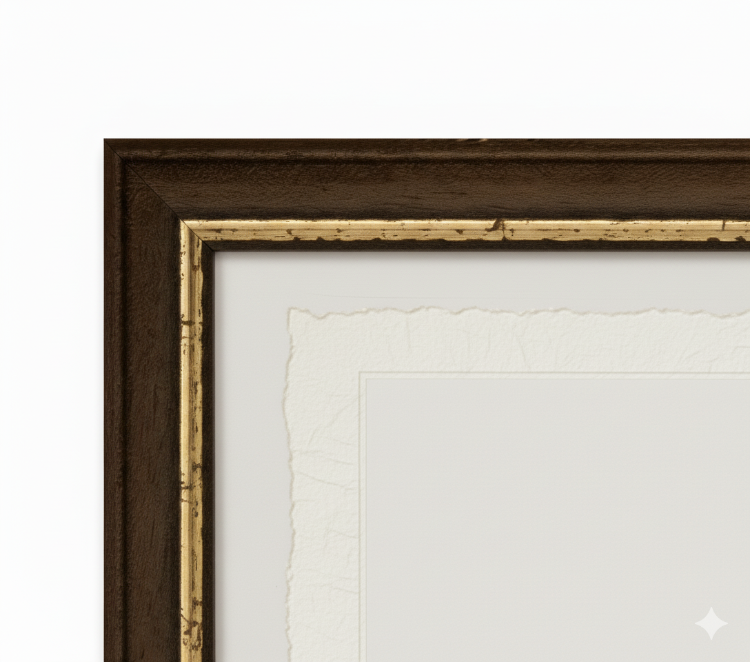
Print on handmade Amalfi paper Sheet size: 29 x 42 cm (11.4 x 16.5 in) With frame: 31 x 44 cm (12.2 x 17.3 in) Material: artwork printed on very fine handmade Amalfi paper with deckled edges Frame: light brown beech wood and wood pulp, handmade
How an Amalfi art print is made, what the frame is like, what museum glass is, how long shipping takes, and how returns work: we’ve gathered all the answers on a single page.