This map of Cornwall is one of John Speed's famous maps, published in 1627 in the atlas The Theatre of the Empire of Great Britain by George Humble. It depicts the county with a strong geographical as well as celebratory intent: in addition to the boundaries, settlements and coastline, Speed includes perspective views, heraldic coats of arms and decorative scenes reflecting English cartographic taste of the early 17th century. The map is not only a topographical tool but also a political and cultural image of the territory, designed to exalt the identity of Cornwall within the English kingdom. Its style combines descriptive precision with ornamental richness, typical of the great Baroque cartography.
Unique quality material
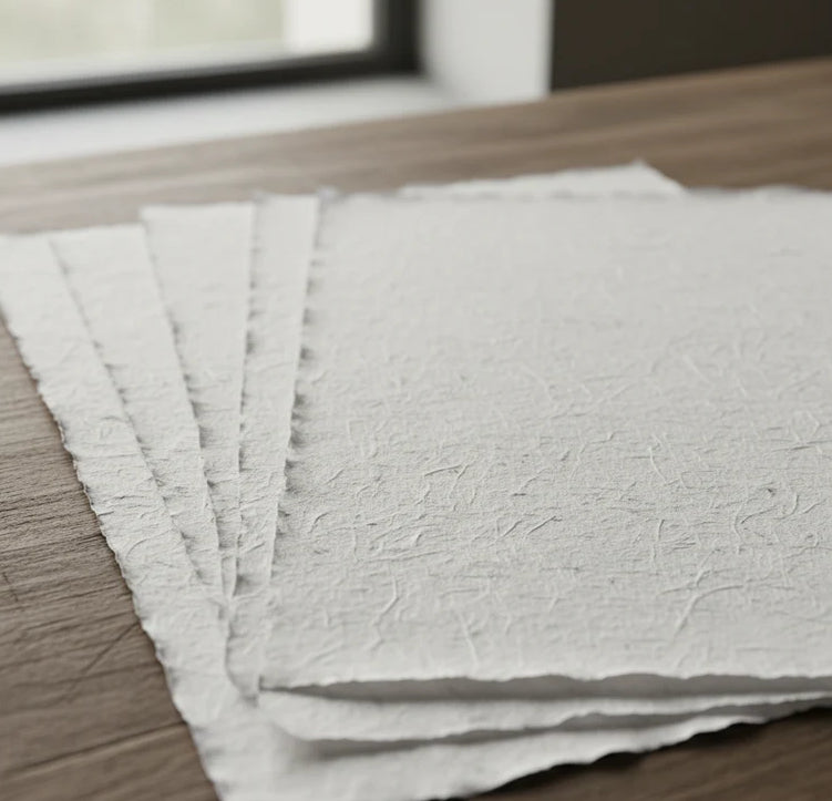
Print on handmade Amalfi paper Sheet size: 29 x 42 cm (11.4 x 16.5 in) With frame: 31 x 44 cm (12.2 x 17.3 in) Material: artwork printed on very fine handmade Amalfi paper with deckled edges Frame: light brown beech wood and wood pulp, handmade
How an Amalfi art print is made, what the frame is like, what museum glass is, how long shipping takes, and how returns work: we’ve gathered all the answers on a single page.