Historical map of South America created by Samuel Augustus Mitchell in 1863.
The map shows South America as it was known in the late 19th century. It is a political map, showing the extent of the states of the time. The map is part of Mitchell's New General Atlas. It shows the largest cities, the rivers and all the coastal landing places of South America. In the lower right corner is a detailed map of Granada.
Unique quality material
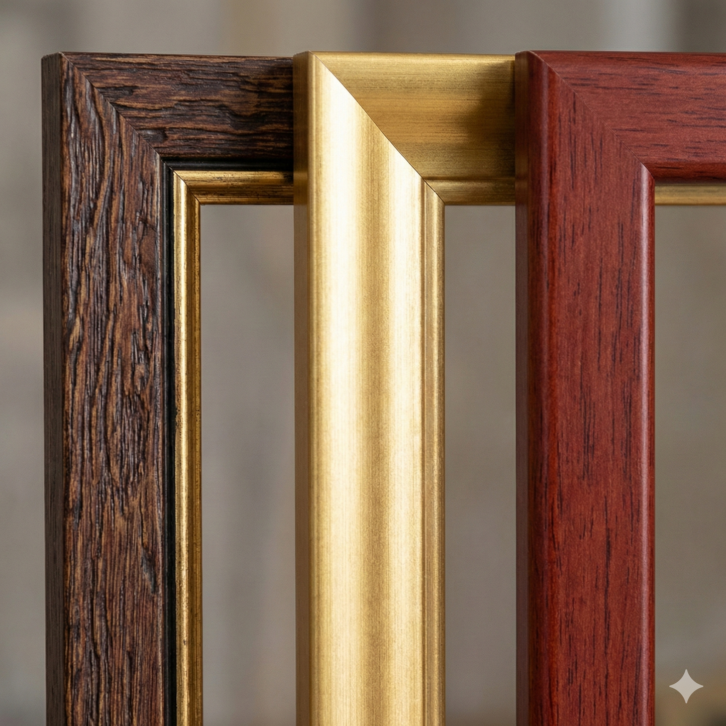
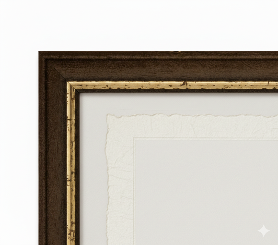
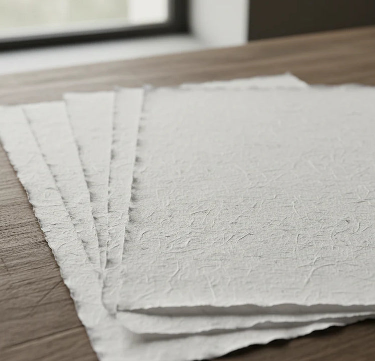
Print on handmade Amalfi paper Sheet size: 29 x 42 cm (11.4 x 16.5 in) With frame: 31 x 44 cm (12.2 x 17.3 in) Material: artwork printed on very fine handmade Amalfi paper with deckled edges Frame: light brown beech wood and wood pulp, handmade
How an Amalfi art print is made, what the frame is like, what museum glass is, how long shipping takes, and how returns work: we’ve gathered all the answers on a single page.