Historical map of the planetary orbits created by Andreas Cellarius according to the system of Tycho Brahe. It is a hand-coloured engraving.
The map shows the planetary system with the Sun at the centre and the other planets orbiting around it. Outside the orbits are the signs of the zodiac.
The corners of the map feature allegories drawn from mythology and the classical world. In the lower right-hand corner, Tycho Brahe is depicted with his globe.
Andreas Cellarius (Neuhausen, c. 1596 – Hoorn, 1665) was a German-Dutch cartographer, best known for his Harmonia Macrocosmica of 1660, a star atlas published by Jan Janssonius in Amsterdam.
Tycho Brahe (Danish: Tyge Brahe), once also known in Italian as Ticone, born Tyge Ottesen, Brahe was a 16th-century Danish astronomer and astrologer.
Unique quality material
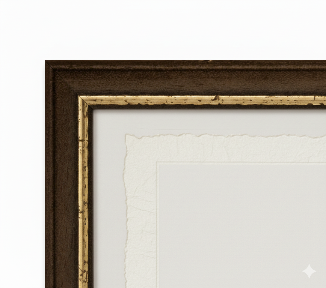
Print on handmade Amalfi paper Sheet size: 29 x 42 cm (11.4 x 16.5 in) With frame: 31 x 44 cm (12.2 x 17.3 in) Material: artwork printed on very fine handmade Amalfi paper with deckled edges Frame: light brown beech wood and wood pulp, handmade
How an Amalfi art print is made, what the frame is like, what museum glass is, how long shipping takes, and how returns work: we’ve gathered all the answers on a single page.