The map shows the route taken by Hernán Cortés between 1519 and 1521 during the conquest of the Aztec empire, from the coast of the Gulf of Mexico to Tenochtitlán, the future Mexico City. The route highlights the coastal landings, the founding of Veracruz and the advance onto the central plateau, emphasising alliances with indigenous peoples hostile to the Mexica and the main theatres of battle. Produced in the post-colonial era and held at the Museo Nacional de Historia at Chapultepec, the map has historical and propaganda value: it celebrates the conquistador's feat and at the same time fixes the birth of New Spain under the Spanish Crown in geographical memory.
Unique quality material
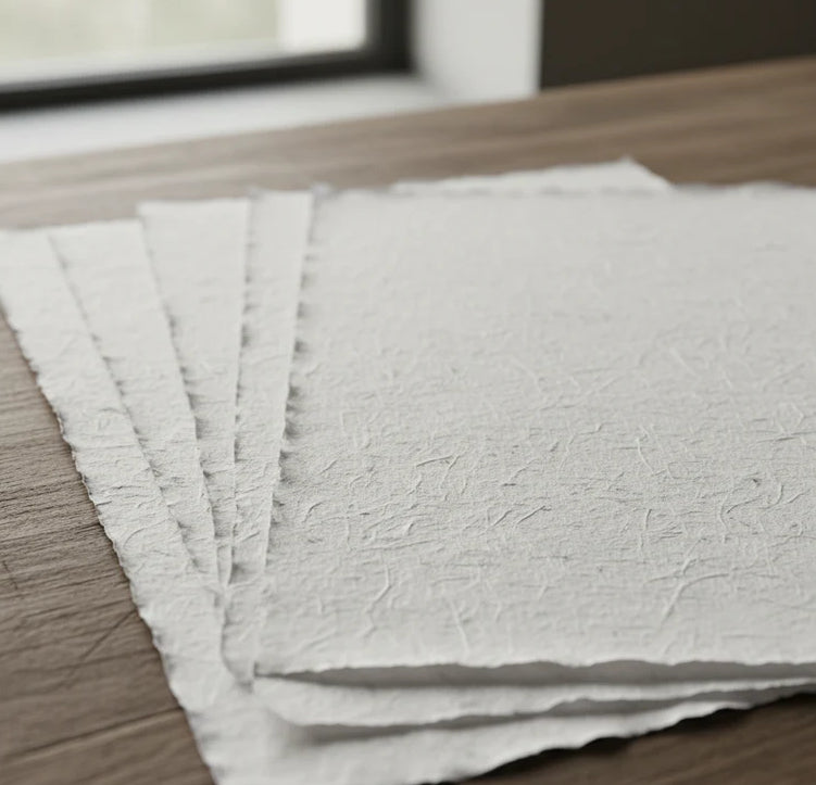
Print on handmade Amalfi paper Sheet size: 29 x 42 cm (11.4 x 16.5 in) With frame: 31 x 44 cm (12.2 x 17.3 in) Material: artwork printed on very fine handmade Amalfi paper with deckled edges Frame: light brown beech wood and wood pulp, handmade
How an Amalfi art print is made, what the frame is like, what museum glass is, how long shipping takes, and how returns work: we’ve gathered all the answers on a single page.