Historical map of the world created by Charles Marie Rigobert Bonne in 1780.
The map shows the world as it was known at the end of the 18th century. Meridians and parallels are shown. The map was created using the Mercator projection, from the "Atlas de Toutes les Parties Connues du Globe Terrestre" by Guillaume Raynal.
Rigobert Bonne (1727-1794) was a French geographer, hydrographic engineer and cartographer, born in Raucourt in the Ardennes, and a master of mathematics in the 18th century.
Unique quality material
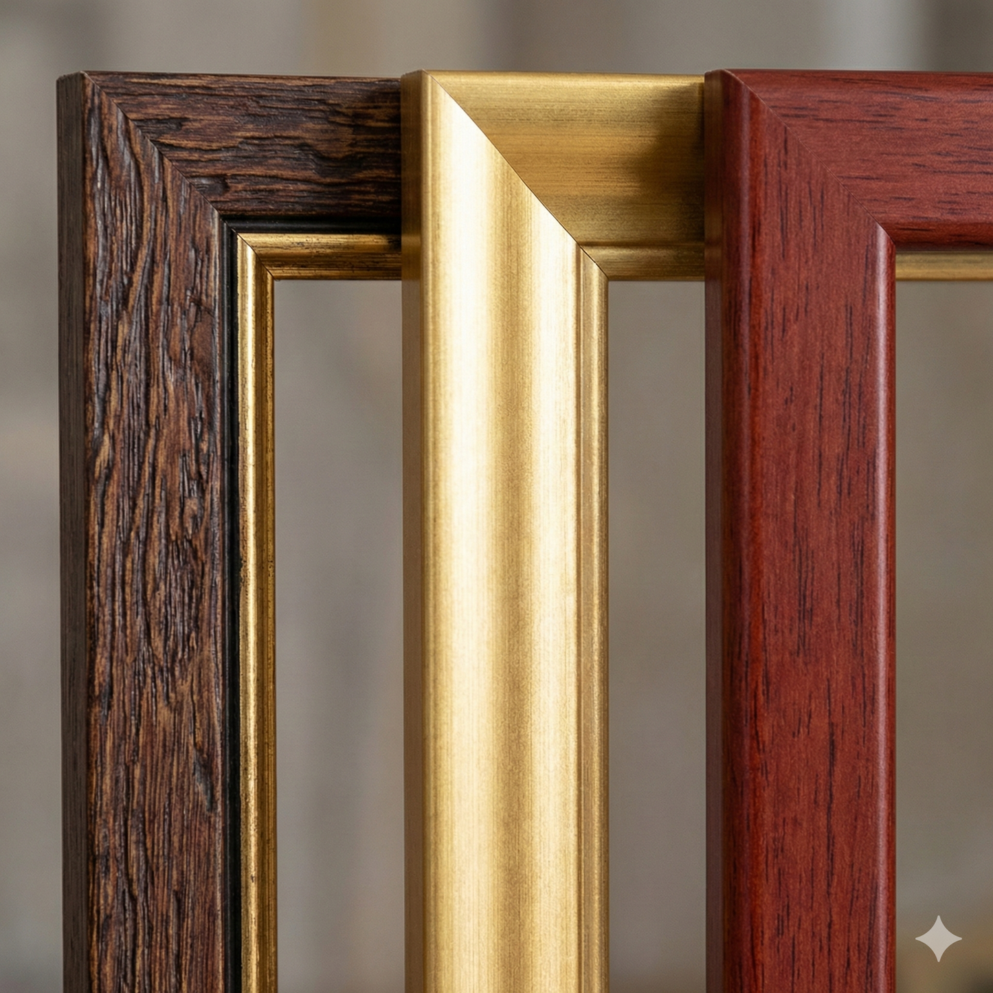
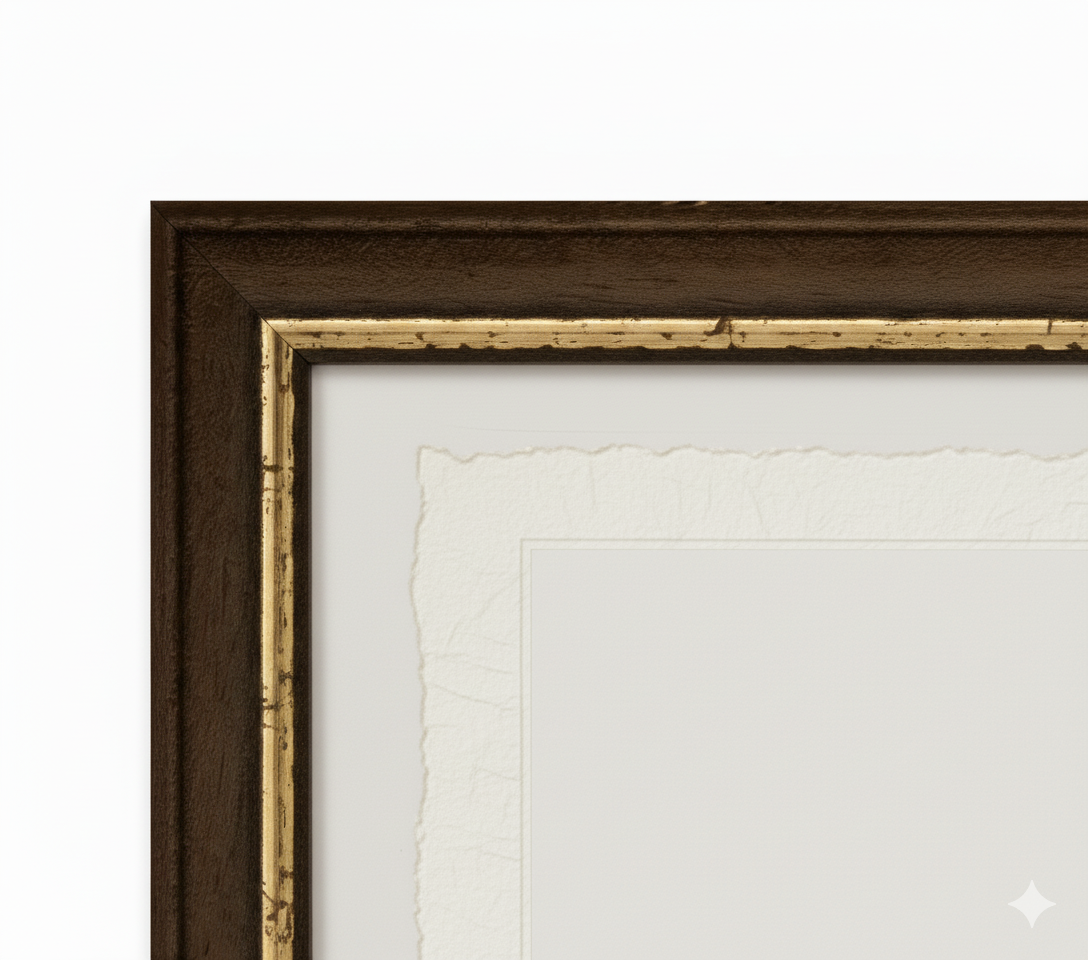
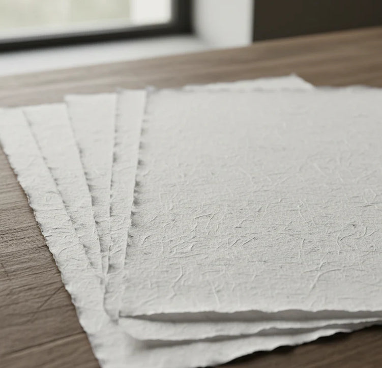
Print on handmade Amalfi paper Sheet size: 29 x 42 cm (11.4 x 16.5 in) With frame: 31 x 44 cm (12.2 x 17.3 in) Material: artwork printed on very fine handmade Amalfi paper with deckled edges Frame: light brown beech wood and wood pulp, handmade
How an Amalfi art print is made, what the frame is like, what museum glass is, how long shipping takes, and how returns work: we’ve gathered all the answers on a single page.