Historical map of the routes to Santiago de Compostela, engraved by D. Serveaux in 1648.
The map shows France and part of Spain, and indicates with a thin red line the routes and paths most used by the pilgrims of the time to reach Santiago de Compostela.
As can be seen, the routes developed throughout France, branching out and all leading to the single shared Spanish destination.
Note at top right of the map a "Legend" of the main meeting points.
D. Serveaux was an important cartographer who lived in the 16th century.
Unique quality material
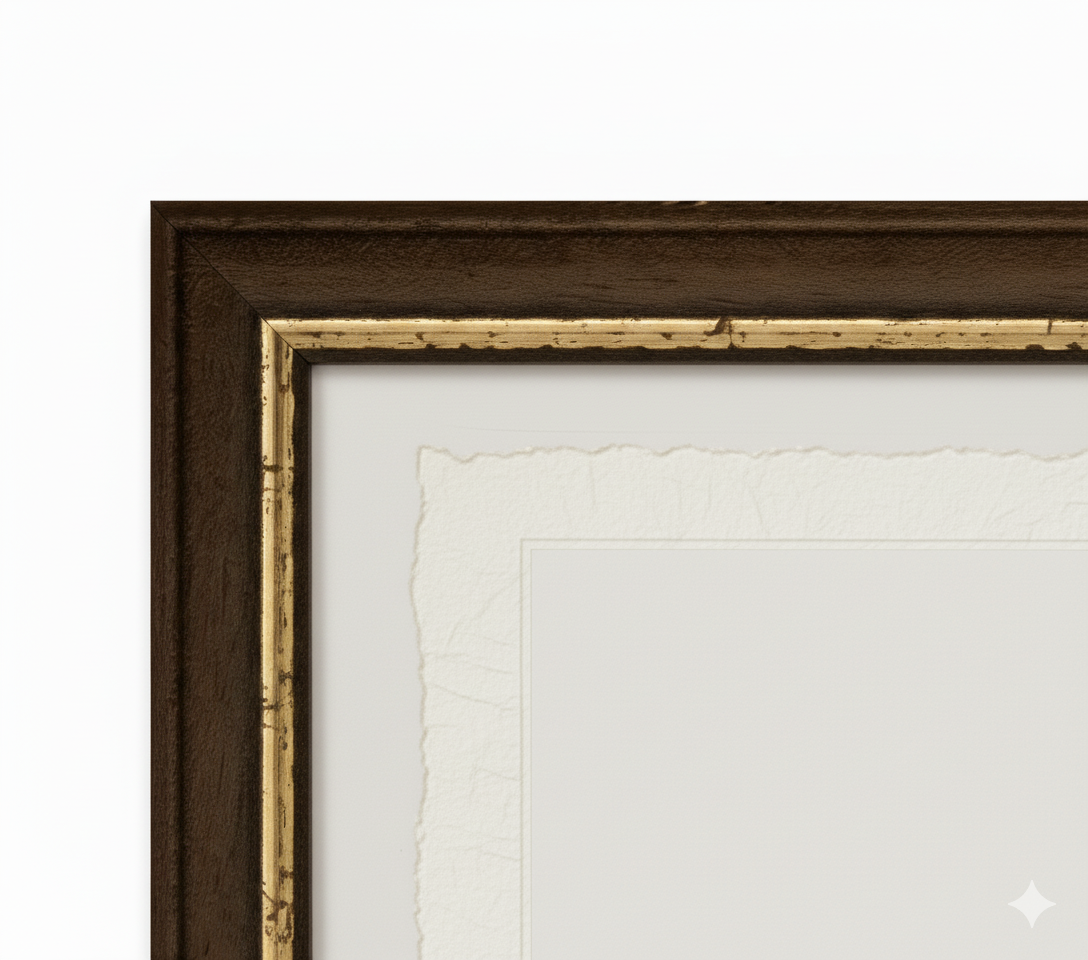
Print on handmade Amalfi paper Sheet size: 29 x 42 cm (11.4 x 16.5 in) With frame: 31 x 44 cm (12.2 x 17.3 in) Material: artwork printed on very fine handmade Amalfi paper with deckled edges Frame: light brown beech wood and wood pulp, handmade
How an Amalfi art print is made, what the frame is like, what museum glass is, how long shipping takes, and how returns work: we’ve gathered all the answers on a single page.