This rare map of the "States of the Supreme Pontiff", engraved by Matthäus Seutter in the mid-18th century, depicts in great detail the territories of central Italy subject to papal authority. The map is centred on Rome and clearly shows the borders, main towns, relief and routes of communication of the period. Embellished with a fine decorative cartouche, it is a remarkable example of Baroque cartographic art and an important record of the political and religious geography of pre-unification Italy.
Matthäus Seutter, one of the leading German cartographers of the 18th century, was appointed Imperial Geographer in 1727. Trained in Nuremberg under Johann Baptist Homann, Seutter published his famous Atlas Novus around 1730. His maps, often based on French and German sources, stand out for their high aesthetic value and wealth of detail. This map of the Papal States is particularly rare and little documented in reference works, making it a piece of great interest for collectors and scholars of historical cartography.
Unique quality material
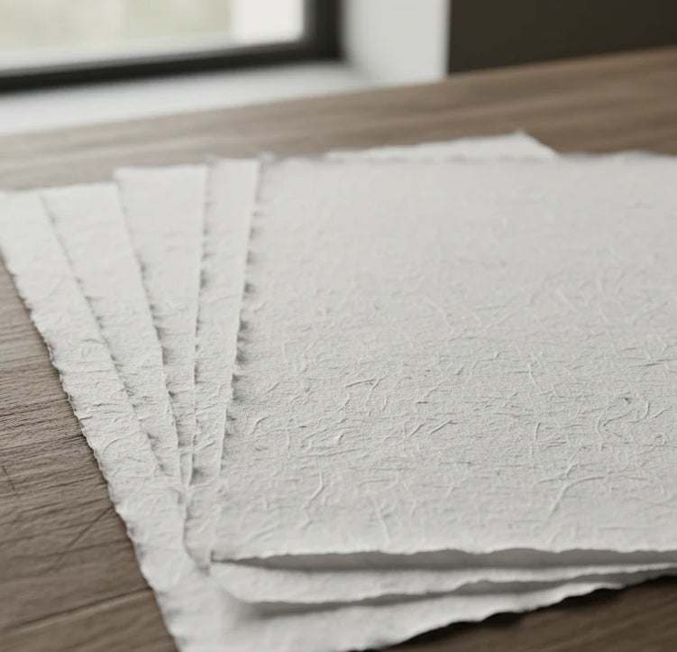
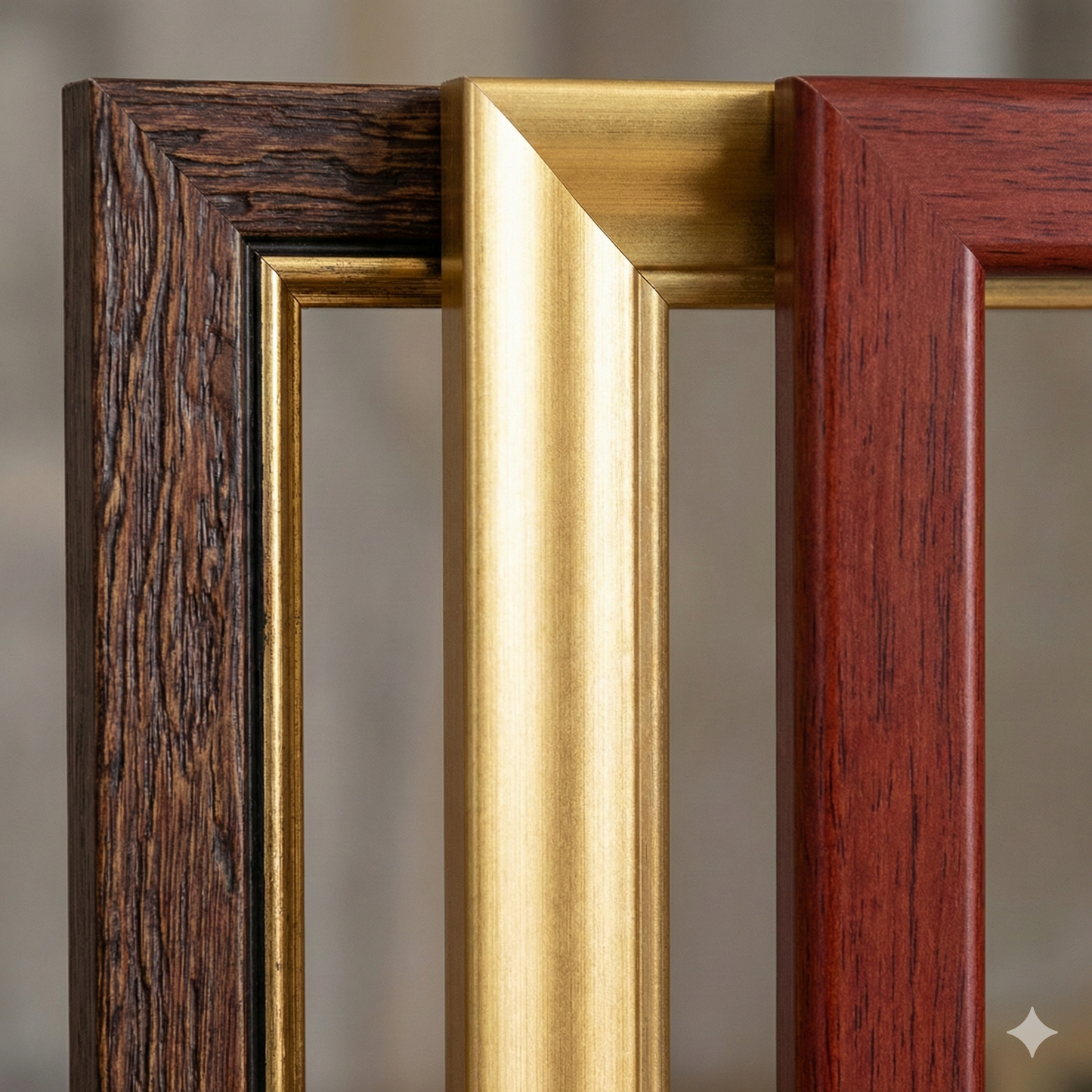
Print on handmade Amalfi paper Sheet size: 29 x 42 cm (11.4 x 16.5 in) With frame: 31 x 44 cm (12.2 x 17.3 in) Material: artwork printed on very fine handmade Amalfi paper with deckled edges Frame: light brown beech wood and wood pulp, handmade
Come nasce una riproduzione su carta di Amalfi, com'è fatta la cornice, cos'è il vetro museale, quanto tempo serve per la spedizione e come funzionano i resi: abbiamo raccolto tutte le risposte in un'unica pagina.