This splendid map of the Kingdom of Sicily, made by Nicolaes Visscher I, is an exceptional example of 17th-century Dutch cartography. It depicts with extraordinary geographical precision Sicily, Malta, part of the Neapolitan coast and sections of Sardinia, in vivid colours enhanced with gold-leaf details. The colouring, still intense, bears witness to the quality of the work and its excellent state of preservation.
The map is embellished with a large decorative cartouche containing two noble coats of arms, symbolising the political and historical importance of the area depicted. At the bottom, a refined, ornate military scale adds artistic and functional value to the document. This is a rare period example, ideal for collectors, scholars and lovers of Mediterranean history and cartographic art.
Unique quality material
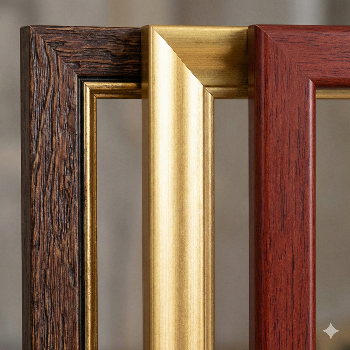
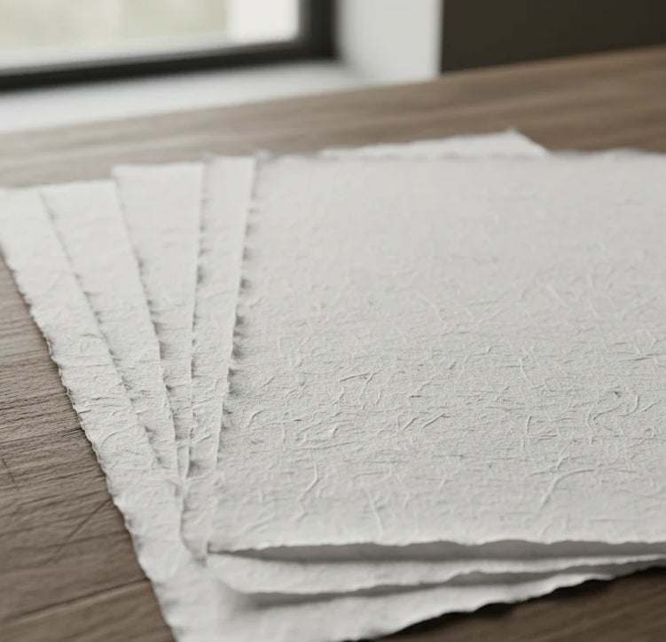
Print on handmade Amalfi paper Sheet size: 29 x 42 cm (11.4 x 16.5 in) With frame: 31 x 44 cm (12.2 x 17.3 in) Material: artwork printed on very fine handmade Amalfi paper with deckled edges Frame: light brown beech wood and wood pulp, handmade
How an Amalfi art print is made, what the frame is like, what museum glass is, how long shipping takes, and how returns work: we’ve gathered all the answers on a single page.