This fascinating illustrated map of Italy, published by La Scuola Editrice of Brescia in the mid-20th century, offers a colourful and educational depiction of the Italian regions and their main productive activities. Every area of the country is enriched with illustrations highlighting its typical products: the agricultural south with its wheat and other cereal crops, the industrial north with its plants and factories, and the Mediterranean alive with fishing boats, a testament to the importance of coastal fishing. A refined compass rose at the bottom left completes the composition.
This map is a perfect example of post-war educational graphics, designed both to inform and to fascinate students and curious onlookers. With its vintage style and wealth of detail, it is today a collector's item combining aesthetic value and historical interest. Ideal for collectors, teachers, or anyone wishing to decorate a space with a touch of authentic Italian character.
Unique quality material
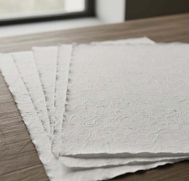
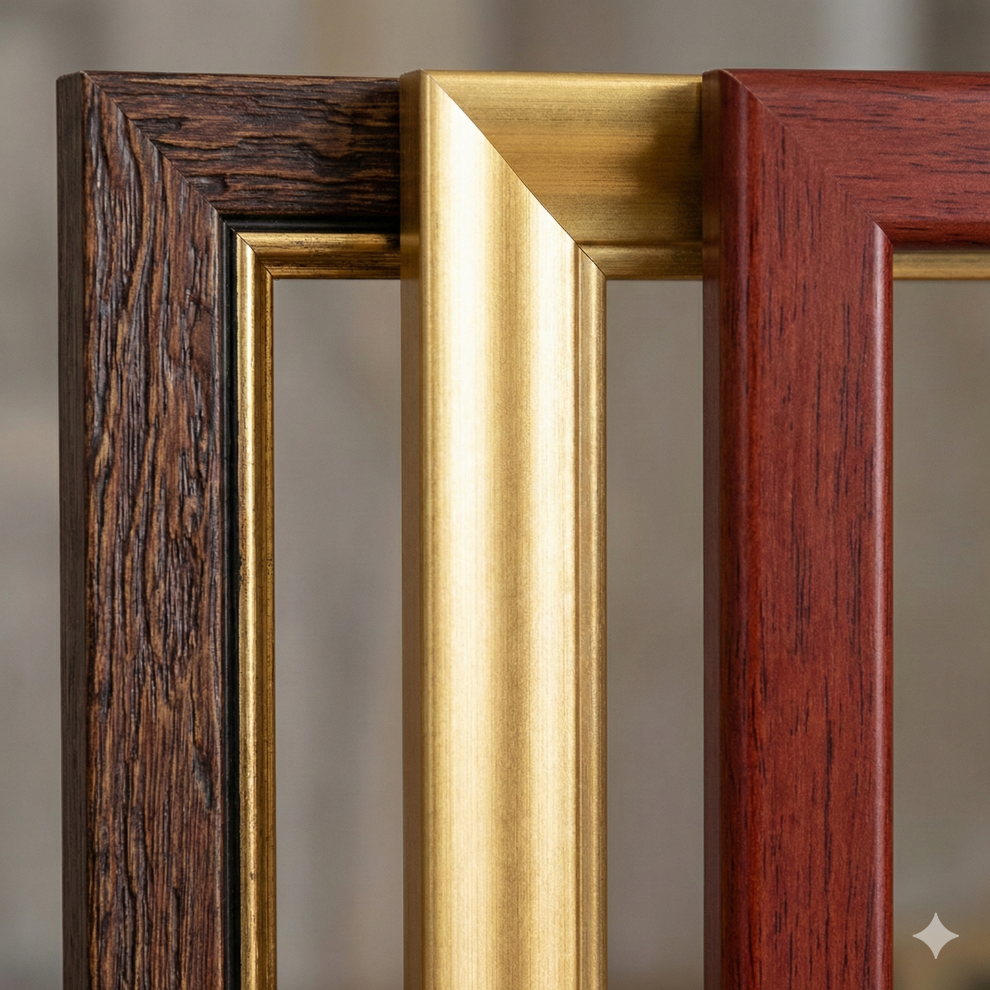
Print on handmade Amalfi paper Sheet size: 29 x 42 cm (11.4 x 16.5 in) With frame: 31 x 44 cm (12.2 x 17.3 in) Material: artwork printed on very fine handmade Amalfi paper with deckled edges Frame: light brown beech wood and wood pulp, handmade
How an Amalfi art print is made, what the frame is like, what museum glass is, how long shipping takes, and how returns work: we’ve gathered all the answers on a single page.