This refined map, published in Venice by Vincenzo Coronelli, offers a detailed depiction of the territory of Vicenza, stretching from the Alps to the Gulf of Venice. The cartographic work is rich in detail: rivers, mountain passes, valleys, towns, roads and regional borders are shown with extraordinary precision. The whole is embellished with numerous heraldic coats of arms and a large inset with a panoramic plan of the city of Vicenza; the city of Verona can also be seen at the bottom left.
Coronelli, a leading figure of Baroque cartography, was not only a geographer but also a skilled engraver and scientist. Famous for his imposing terrestrial and celestial globes, made for sovereigns such as Louis XIV, he brought Venetian cartography to new heights of excellence. This map is a perfect example of his unmistakable style: precise, decorative and scientifically rigorous. A rare and precious work for collectors and scholars of Italian historical cartography.
Unique quality material
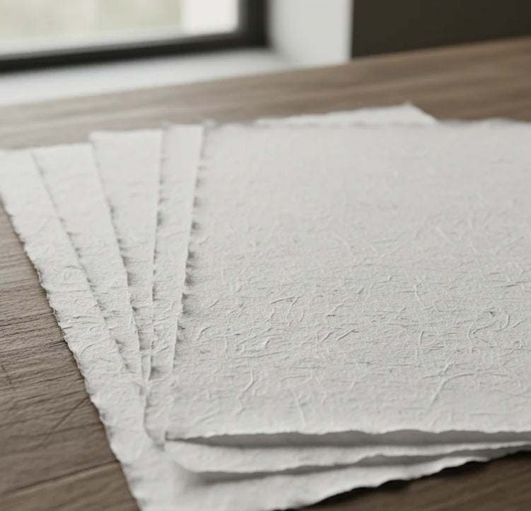
Print on handmade Amalfi paper Sheet size: 29 x 42 cm (11.4 x 16.5 in) With frame: 31 x 44 cm (12.2 x 17.3 in) Material: artwork printed on very fine handmade Amalfi paper with deckled edges Frame: light brown beech wood and wood pulp, handmade
How an Amalfi art print is made, what the frame is like, what museum glass is, how long shipping takes, and how returns work: we’ve gathered all the answers on a single page.