

Map of Asia, 1902
Map of Asia, 1902
or a special size? • Chat with us
Couldn't load pickup availability
Historical map of Asia dated 1902.
The map shows Asia as it was at the beginning of the 20th century.
It is both a physical and a political map, as it shows the rivers and mountain ranges as well as the borders of the states and the most important cities. The territories of the states are outlined in colour. The Russian Empire is outlined in yellow, while China is in light green.
This is a map used in middle and secondary schools of the time.
Feel history under your fingertips
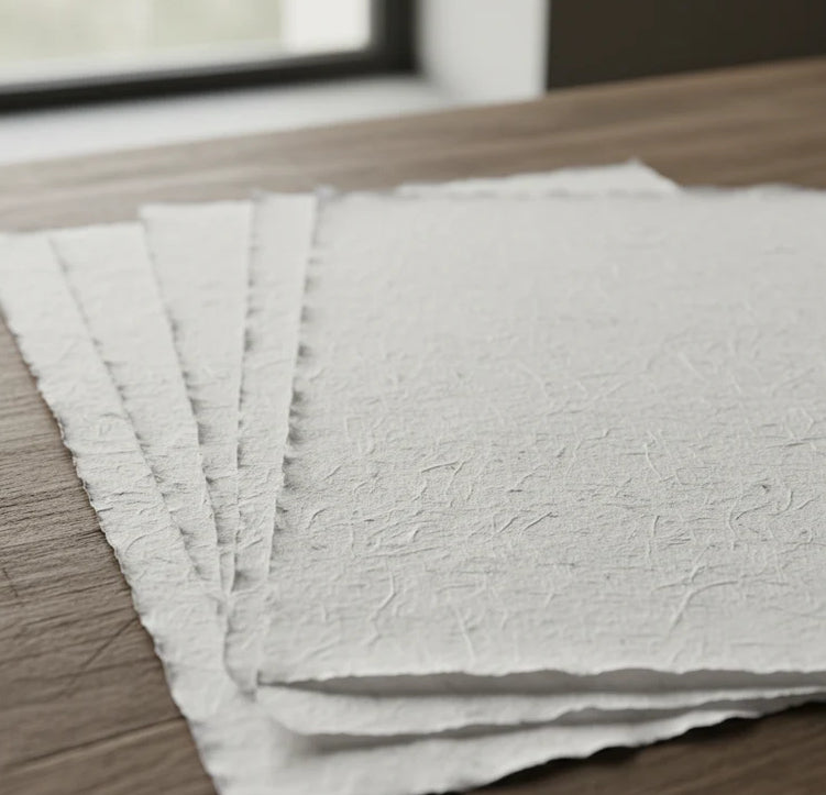
Our reproductions are extremely faithful to the original and printed on fine Amalfi paper.
It is a paper made exclusively from cotton fibres, thick and naturally porous, yet soft to the touch, with the characteristic deckled edges that bear witness to its handcrafted making.
It is still made today using ancient medieval techniques, in the workshops of Amalfi.
Materials of the finest quality
-
 Amalfi paper
Thick, porous, with the characteristic deckled edges -
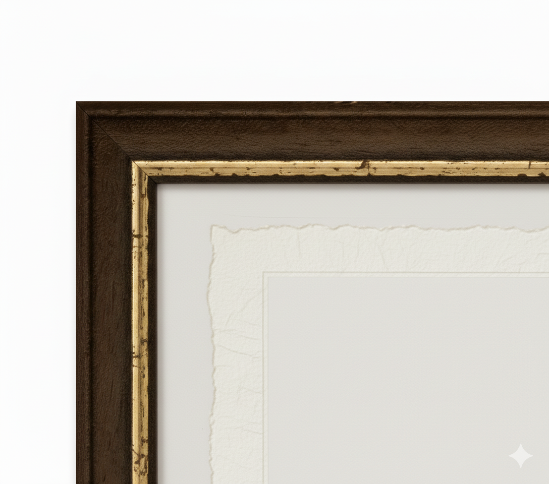
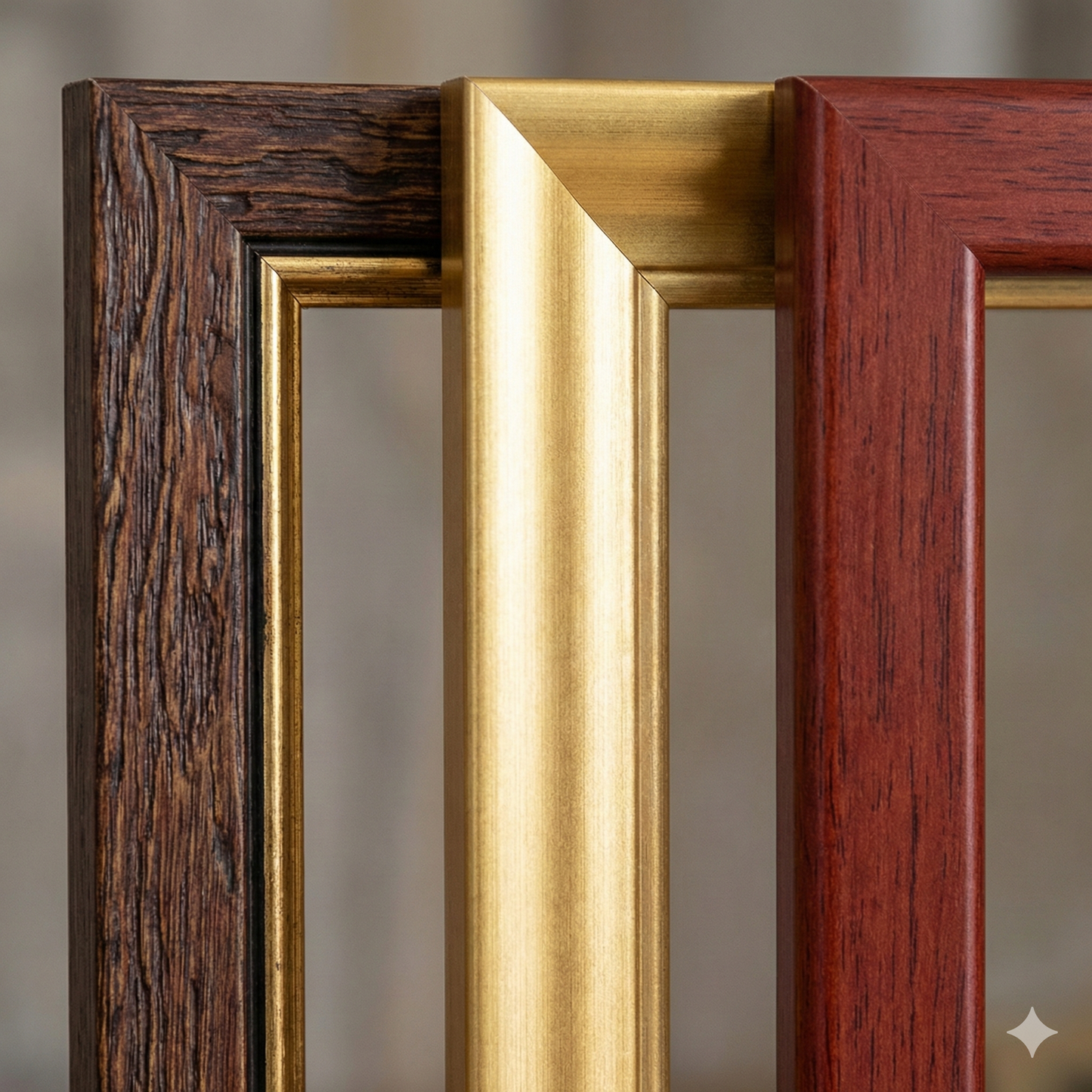
 Handcrafted frame
Made from fine wood, assembled by hand -
 Museum glass
The same ultra-glossy glass used in museums
Unique quality material
Print on handmade Amalfi paper
Sheet size: 42 x 29 cm (16.5 x 11.4 in)
With frame: 44 x 31 cm (17.3 x 12.2 in)
Material: artwork printed on very fine handmade Amalfi paper with deckled edges
Frame: light brown beech wood and wood pulp, handmade