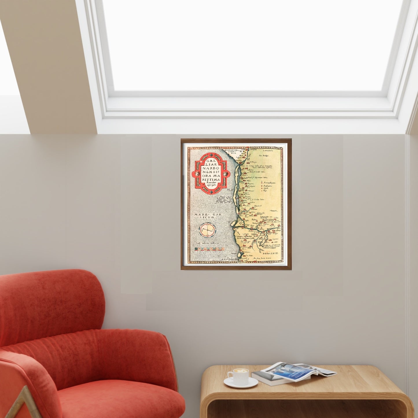
Historical map of Galliae Narbonensis ora Marittima from the late 16th century, by Abraham Ortelius. The map is part of the "Theatrum Orbis Terrarum".
The map shows Gallia, with details of rivers, mountain ranges, main towns and green areas. It is a highly detailed map.
Abraham Ortelius (Latinised as Abrahamus Ortelius or Orthellius) was a Flemish cartographer and geographer. Together with Mercator, Ortelius was the great founder of Flemish cartography and is remembered for publishing the first modern atlas.
FEATURES
A framed print makes a visual impact worthy of an art gallery. The bevelled mount around the image is made of genuine museum board: it is a decorative touch for connoisseurs.
The special charm of a framed print also lies in its elegant handmade frame. Every print is protected with crystal-clear acrylic glass.
Product specifications: Printed photo: (260 g/m²) with a brilliant white glossy finish Mount: white, with a 45° bevelled cut Size: 80 x 60 cm (31.5 x 23.6 in) Material: Acrylic glass and wooden frame
How an Amalfi art print is made, what the frame is like, what museum glass is, how long shipping takes, and how returns work: we’ve gathered all the answers on a single page.