This beautiful example of the map of Piedmont and Savoy comes from the Corso Geographico by Vincenzo Maria Coronelli, published in Venice at the end of the 17th century. The map presents a highly detailed topographical depiction of the region, showing mountains, rivers, lakes, towns, castles and other geographical features. Embellished with an elegant cartouche and two heraldic coats of arms, it is considered one of the most fascinating and complete maps of the area to appear in a commercial atlas of the period.
Vincenzo Maria Coronelli was one of the greatest cartographers of the Baroque period, known for his fusion of scientific precision and artistic refinement. After studying astronomy and geometry, he made spectacular globes for illustrious patrons such as the Duke of Parma and Louis XIV. His fame grew rapidly, leading him to publish important geographical works, including theAtlante Veneto and the Corso Geographico. The map of Piedmont and Savoy fully represents his talent and his encyclopaedic vision of the world.
Unique quality material
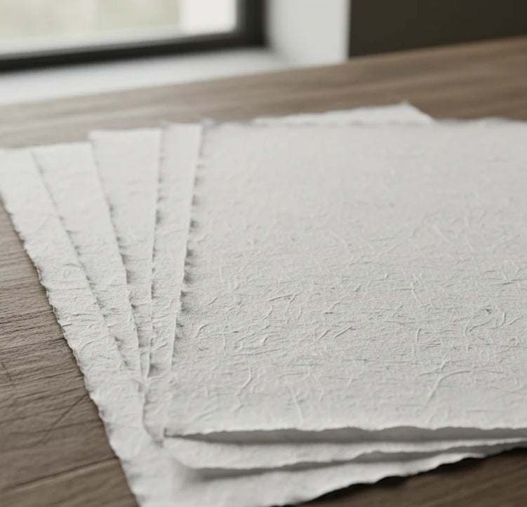
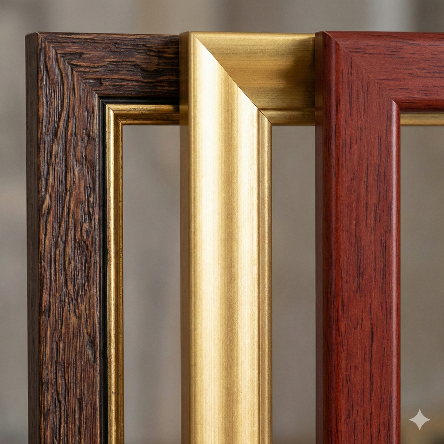
Print on handmade Amalfi paper Sheet size: 29 x 42 cm (11.4 x 16.5 in) With frame: 31 x 44 cm (12.2 x 17.3 in) Material: artwork printed on very fine handmade Amalfi paper with deckled edges Frame: light brown beech wood and wood pulp, handmade
How an Amalfi art print is made, what the frame is like, what museum glass is, how long shipping takes, and how returns work: we’ve gathered all the answers on a single page.