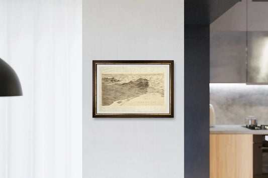
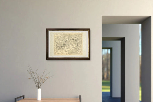
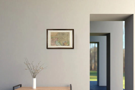
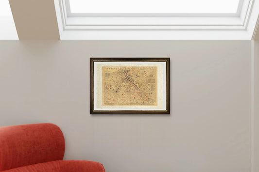
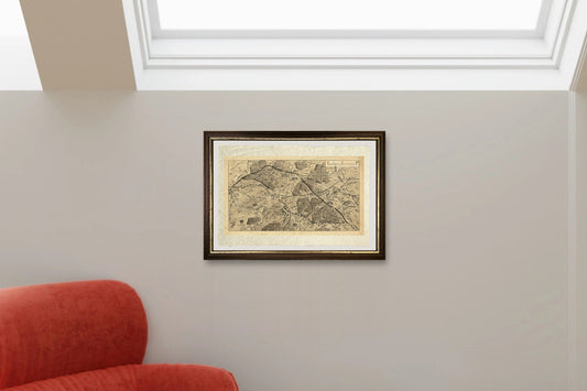
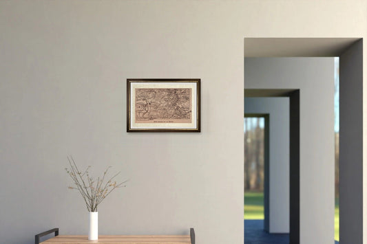
Collection: Historical maps
The maps through which the world was seen for centuries, printed on handmade Amalfi paper. Here you will find maps of the Roman Empire at its greatest extent, Italian cities and regions drawn in the sixteenth and seventeenth centuries by Pietro Bertelli, Giovanni Antonio Magini and Jan Jansson, the Tabula Peutingeriana, the Piri Reis map and the monster-filled seas of Renaissance mapmakers.
An antique map shows the world as it was when it was drawn: borders that no longer exist, forgotten names, cities still enclosed by their walls. Framed, it is a piece of history for a study, a hallway or the wall above a bookcase. Each map's page gives its size, frame and price.
Looking for a particular place? See also Italian cities and regions, World maps, Maps of Europe and Celestial maps.