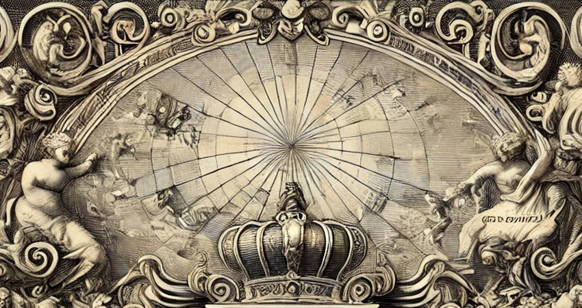
The Papal State in the 17th Century: map by Giovanni Antonio Magini
Lucia TinagliShare
The map of the Papal States created by Giovanni Antonio Magini and completed posthumously by his son Fabio in 1620 represents an extraordinary witness of the 17th century, offering a detailed look at the cartography of Italy of the time.
Later published by Sebastiano Bonomi as part of the first atlas created and printed entirely in Italy, this map immediately appeared as a true artistic masterpiece, the cartography always tended towards a pleasant and beautiful graphic aspect , to be displayed.
Although the modern vision of Italy is very different, this historical map allows us to explore the complexity and particularity of the Papal States , one of the most influential political entities of the time.
An Italian Atlas between Innovation and Tradition
The birth of this map begins with Giovanni Antonio Magini, an eminent cartographer, mathematician and astronomer of the 16th century, who dedicated himself to the creation of an atlas of Italy.
Giovanni Antonio Magini (1555-1617) was an important Italian astronomer and cartographer, known for his contributions to the cartography of Italy and astronomical studies. Born in Padua, he studied at one of the most prestigious universities of the time and initially devoted himself to astronomy. In 1588, he was chosen to succeed Ignazio Danti as professor of mathematics at the University of Bologna, even beating Galileo Galilei for the chair.
Magini devoted himself to the study of geography and astronomy , carrying out important research. One of his most famous works is the "Atlas of Italy", a collection of very detailed regional maps that aimed to represent the entire Italian peninsula. This work, published posthumously by his heirs, remained a point of reference in Italian cartography for a long time. Magini used innovative techniques for the time and collaborated with various engravers to create accurate and detailed maps of all the Italian regions, reflecting his scientific scrupulousness and interest in geographical precision.
In astronomy, Magini is known for having supported the geocentric system, thus opposing the heliocentric theory of Copernicus. He also published "Ephemerides coelestium motuum", a work on celestial events used by navigators and astronomers of his time . In addition, Magini invented scientific instruments such as the "planisphere", used to calculate stellar positions.
The map project, begun in 1594, was an ambitious and revolutionary undertaking, aimed at collecting detailed maps of the Italian regions. Magini had the foresight to involve some of the best engravers of the time, such as the English Benjamin Wright and the Dutch Arnoldi brothers, who contributed to the precision and beauty of the work with their ornamental style.
After Magini's death in 1617, his son Fabio completed the work, leading to the publication of the atlas in 1620.
Distinctive features of the map
The map of the Papal States is a sublime example of the fusion between the art and science of cartography. The borders of the Papal States , which extended over much of central Italy, are carefully delineated, highlighting important cities such as Rome, Bologna, Perugia and Ancona.
Magini stood out for his attention to detail, also illustrating rivers and mountain ranges, symbols of the natural wealth and geographical complexity of the territory. Decorative elements such as ships and sea creatures animate the surrounding sea, evoking the influence of the famous "Mercator" style, widespread in the Nordic countries of the time.
The decorative cartouche with the dedication and title, adorned with scrolls and baroque details, adds a further level of charm to this work.
The Political and Cultural Importance of the Papal State
The Papal States were not only a religious entity, but a powerful secular state that extended its political and territorial control over a large part of the Italian peninsula.
Ruled by the popes, this territory was one of the main powers of the time, with a network of alliances and an influence that went far beyond the Italian borders. Magini's map becomes a window into the history of a complex entity, where religion and politics were inextricably intertwined.
For contemporaries, these maps were not just geographical representations, but tools for political and identity affirmation.
Cartographic curiosities and history of collecting
Ancient maps such as this one of the Papal States are objects of great interest to collectors and history buffs, as they represent a world before modern national divisions.
During the 17th century, in fact, Italy was a mosaic of independent states, each with its own culture, language and system of government. Magini's map, with its detailed style and artistic embellishments, reflected the prestige and pride of the territories represented.
This map of the Papal States, masterfully reproduced on the finest paper, is not only a work of art, but also an invitation to rediscover a fascinating chapter in Italian history.
Purchasing this reproduction means bringing home a piece of our past, a tangible testimony to an era of intrigue, power and artistic beauty.

